
Colorado’s weather is feeling more like Florida this week — at least when it comes to the muggy air.
As of now, Denver’s dewpoint has climbed to 63°F, well above the usual midsummer range of upper 40s to low 50s for the typically dry Front Range. That added humidity is packing the atmosphere with moisture, helping fuel storm development across the state.
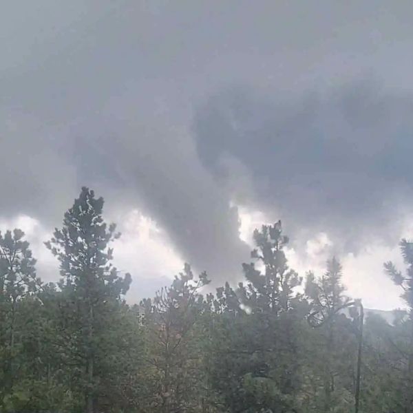
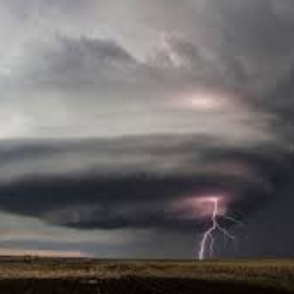
Storms will remain scattered through Tuesday evening, but with weak upper-level winds and elevated instability, they’ll likely move slowly, increasing the risk of 1–2 inches of rain falling in a short period.
That ups the chance of localized flash flooding, especially in areas that are flood-prone.
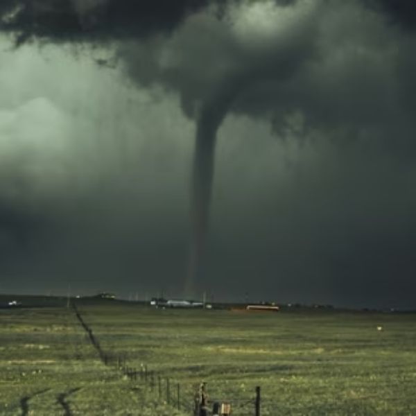
Some stronger storms could also bring hail and gusty winds, though any hail threat will be short-lived. Hail is more likely early in a storm’s life, before shifting to damaging winds as storms push east of I-25 and move across the plains.
Another round of heavy rain is expected on Wednesday, keeping flood concerns alive.
This article has been carefully fact-checked by our editorial team to ensure accuracy and eliminate any misleading information. We are committed to maintaining the highest standards of integrity in our content.

Katie is a senior who has been on staff for three years. Her favorite type of stories to write is reviews and features. Katie’s favorite ice cream flavor is strawberry.


Leave a Reply