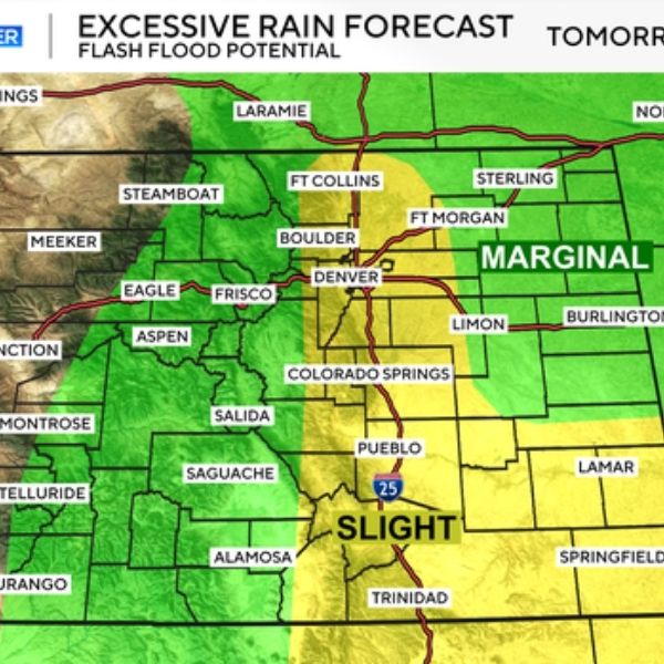
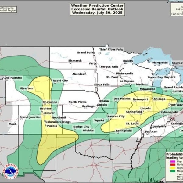
A fresh wave of storms is set to hit Wednesday, bringing threats of hail, strong winds, and flash flooding. A surge of deep moisture combined with weak upper-level winds will set the stage for slow-moving downpours, potentially dumping 1 to 2 inches of rain in a short time.
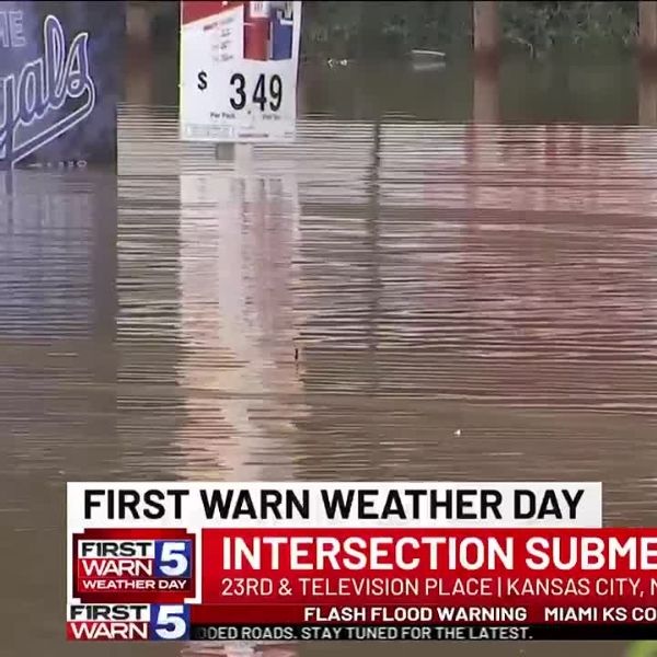
Flash flooding could impact the entire I-25 corridor and parts of the eastern plains, especially in areas prone to flooding.
Avoid driving through flooded roads—turn around, don’t risk it. Just 6 inches of moving water can knock an adult off their feet, and 12 inches can carry away a car. Flooded roads are often deeper than they look, and one wrong move can lead to serious danger. If you spot water on the road, choose a different path.
Some storms could also bring large hail and damaging winds. With moderate deep-layer shear in place, a few organized supercells may form east of the metro area, delivering both heavy rain and severe weather threats.
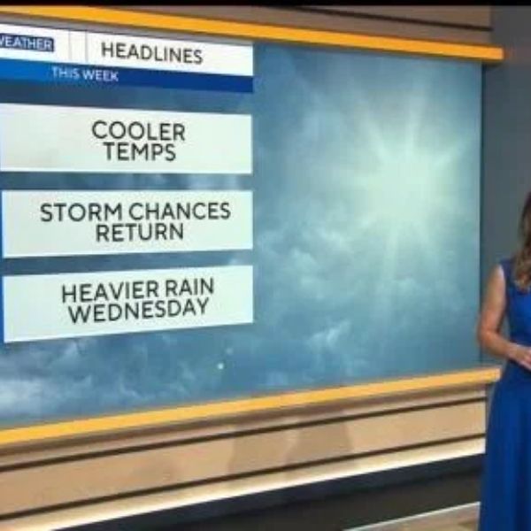
Expect daily chances of rain through Friday.
This article has been carefully fact-checked by our editorial team to ensure accuracy and eliminate any misleading information. We are committed to maintaining the highest standards of integrity in our content.

Katie is a senior who has been on staff for three years. Her favorite type of stories to write is reviews and features. Katie’s favorite ice cream flavor is strawberry.


Leave a Reply