Spotty Downpours Saturday
Saturday begins with a warm, humid morning in the mid-70s, followed by scattered afternoon and evening storms. These quick-hitting downpours won’t be widespread enough to cancel plans, but some areas may briefly get wet.
It’ll feel hot, but not as intense as earlier in the week—enjoy this short break from the extreme heat while it lasts. Temperatures will rise again soon as a strong ridge of high pressure begins to build over the region.
Impact Day Sunday
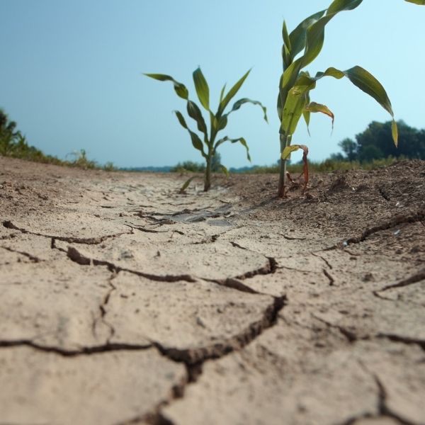
On Sunday, rain chances drop as that ridge settles in, pushing high temperatures into the mid-90s. Humidity will crank up the discomfort, with heat index values near or above 105° in some areas.
Due to this dangerous heat, Sunday is a First Warning Impact Day. Heat advisories may be issued as conditions become more hazardous.
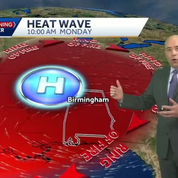
Intense Heat Next Week
More First Warning Impact Days are expected Monday through Wednesday as near-record highs continue. Temperatures will climb into the upper 90s, and the heat index could reach up to 110° by Tuesday and Wednesday.
Slight Relief Late Week
By Thursday or Friday, the dominant ridge will begin to shift westward, making room for a possible cool front. While August fronts aren’t as refreshing as those in fall, some relief is possible.
Birmingham’s average highs for early August hover around 91°, with lows in the low 70s. If models hold, parts of North and Central Alabama may dip into the 80s for highs and mid-60s for lows by Monday, August 4.
That’s not exactly “cool,” but it’ll feel much better than a heat index of 110°.
This article has been carefully fact-checked by our editorial team to ensure accuracy and eliminate any misleading information. We are committed to maintaining the highest standards of integrity in our content.

Katie is a senior who has been on staff for three years. Her favorite type of stories to write is reviews and features. Katie’s favorite ice cream flavor is strawberry.


Leave a Reply