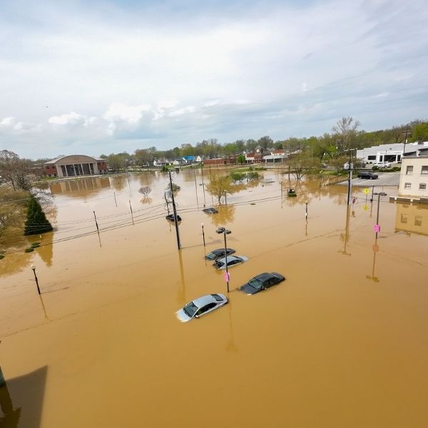
Kansas City, Missouri — Heavy rain and repeated thunderstorms are expected to hit northern and central Missouri, along with northeast Kansas, starting Thursday afternoon. The downpours could lead to flash flooding and potential river overflow through Friday night.
The National Weather Service in Kansas City has issued a Flood Watch beginning at 4 p.m. Thursday, remaining in effect through early Saturday. The alert covers several counties across both states, including Buchanan, Jackson, Johnson (in both Kansas and Missouri), Clay, Atchison, and Macon. Forecasters warn of excessive runoff that could flood roads, low-lying areas, and poorly drained urban neighborhoods.
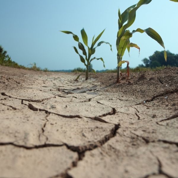
Parts of the Kansas City metro—especially Wyandotte and Johnson counties—may see several waves of heavy rain through early Friday. Rural regions such as Livingston, Grundy, and Gentry counties also face increased risk, with already saturated ground primed for flash flooding.
Authorities urge drivers to steer clear of low-water crossings and flooded roads. Residents in flood-prone areas should prepare by clearing drains, securing valuables, and charging electronics in case of outages.
More flood warnings could follow if rainfall intensifies or rivers rise above flood stage. Stay alert—conditions could shift quickly.
⚠️ Flood Watch remains in effect until at least 4 a.m. Saturday for northern Missouri and until 10 a.m. Friday for central counties.
This article has been carefully fact-checked by our editorial team to ensure accuracy and eliminate any misleading information. We are committed to maintaining the highest standards of integrity in our content.

Katie is a senior who has been on staff for three years. Her favorite type of stories to write is reviews and features. Katie’s favorite ice cream flavor is strawberry.


Leave a Reply