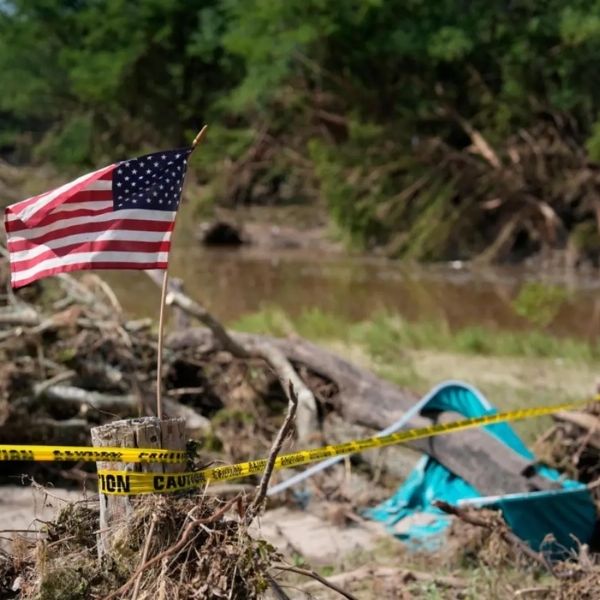
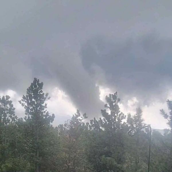
Flooding is a growing concern for metro Denver, the Front Range, and the Eastern Plains as heavy rainfall moves across Colorado Wednesday afternoon and evening.
State officials issued a high flood threat for the Front Range, a moderate threat for the urban corridor, northeast plains, and Palmer Ridge, and a low threat for the southeast and central mountains, including the San Juans and Raton Ridge.
The high-risk flood zone includes parts of north Teller and El Paso counties, western Douglas County, Jefferson County, eastern Park, Clear Creek, and Gilpin counties, as well as central Boulder and Larimer counties.
These areas could receive up to 3 inches of rain, which may lead to debris slides, mudflows, road flooding, and rising water levels in creeks and streams—especially in steep terrain. The most significant impacts are expected before 8:30 p.m.
A moderate flood threat is in place from Larimer and Weld counties in the north to El Paso County in the south, with parts of Adams, Arapahoe, Elbert, and Washington counties potentially seeing up to 2 inches of rain.
Meanwhile, a low flood threat remains in effect for Denver, Broomfield, the Eastern Plains, and the southern mountain regions.

Katie is a senior who has been on staff for three years. Her favorite type of stories to write is reviews and features. Katie’s favorite ice cream flavor is strawberry.


Leave a Reply