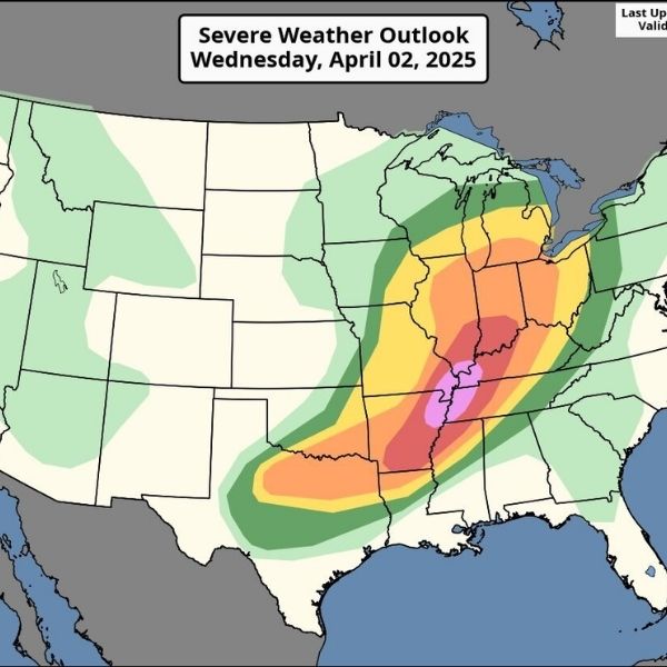
Rest of Today:
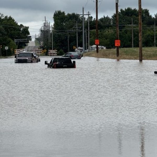
Expect slow-moving showers and storms through 10 p.m., with heavy rainfall possible in short bursts. The Weather Prediction Center has issued a Level 2 out of 4 flash flood risk (highlighted in yellow on maps), meaning conditions are favorable but not guaranteed. Stay alert and take precautions if you’re in a flood-prone area.
Tonight:
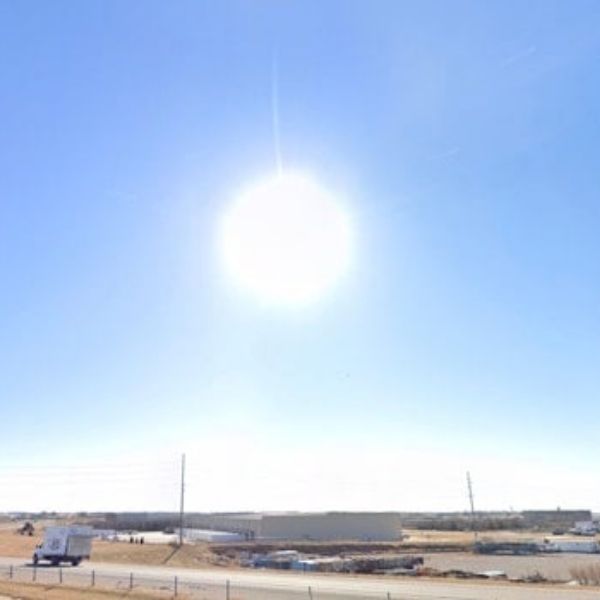
Storms should taper off between 10 p.m. and midnight. Overnight temperatures will dip into the 50s and 60s, with partly clear skies by early Wednesday.
Tomorrow (Wednesday):
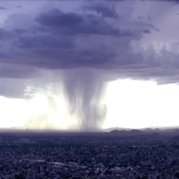
Expect a similar weather pattern—partly cloudy skies in the morning with highs in the 80s and 90s. Showers and storms are likely between 1–8 p.m., with the potential for isolated flash flooding, especially in areas of higher terrain.
Extended Forecast:
Scattered daily storms will continue through Friday. Drier stretches are possible by the weekend, particularly in the afternoons.

Katie is a senior who has been on staff for three years. Her favorite type of stories to write is reviews and features. Katie’s favorite ice cream flavor is strawberry.


Leave a Reply