
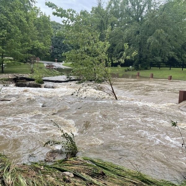
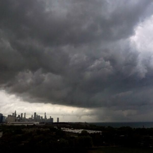
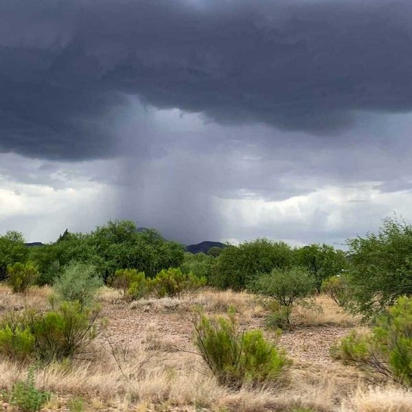
Record-breaking rainfall overnight has triggered flash floods, power outages, and numerous road closures across the Kansas City metro. A flood warning remains in effect until 1 p.m. Thursday, and officials urge drivers to check road conditions before heading out.
Kansas Road Closures
In Kansas City, Kansas, one major closure includes:
-
Westbound K-32 (Kaw Valley Scenic Highway): Right lane closed between South 78th Street and Swartz Road due to flooding. The closure could last 1–2 weeks, according to Delaney Tholen, public information officer.
Other known issues:
-
Multiple blockages, washed-out streets, hill slides, and erosion have been reported in Wyandotte County.
-
At least 40 downed trees have been documented; numbers expected to grow.
“Some neighborhoods saw flooding levels we haven’t experienced since 1993,” said Troy Shaw, Wyandotte County Public Works Director.
Crews will continue assessments and cleanup through next week, working extended hours due to staff shortages. Flood pump stations did operate successfully.
Avoid travel on the south side of KCK, particularly around Inland Drive north of Holiday Drive.
To report blocked streets, call 311.
Live road updates: KanDrive
Johnson County Closures
Overnight flooding affected low-lying streets in Overland Park, which have since reopened. However, crews continue trail and storm drain cleanup.
Closed areas include:
-
Sante Fe Trails Dr. & 107th St. (Lenexa) – Industrial area under inspection for stormwater pipe issues.
-
Old 56 Hwy & Clare Rd – Johnson County Sheriff urges people to avoid driving through standing or flowing water.
Thursday morning closures reported by emergency officials:
-
State Park Rd & Belinder Ave
-
Cedar Creek Rd & 95th St
-
61st St & Goodman St
-
103rd St & Barkley St
-
184th St & Gardner Rd
-
Kansas Ave & Elm St
-
155th St & Old 56 Hwy
-
167th & Old 56 Hwy
-
165th & Old 56 Hwy
-
135th St & Walnut View Dr
Flooded trails:
-
Cedar Niles Park & Trail
-
Mill Creek Streamway Trail
-
Coffee Creek Trail
-
Kill Creek Streamway
-
Tomahawk Golf Course
-
Heritage Park Golf Course
Trail users should stay off all affected trails until water fully recedes.
Missouri Road Closures
In Kansas City, Missouri:
-
23rd Street between I-435 and Blue Ridge Blvd is closed due to flooding.
No timeline has been provided for reopening.
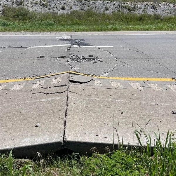
Other impacts: Lane closures may occur due to dirt and debris washing onto roads. No full highway closures have been reported beyond 23rd Street.
For Missouri updates:
-
Follow MoDOT social media
-
View real-time traffic via Kansas City Scout livestream cameras
Reminder to all drivers:
Do not attempt to drive through floodwater or bypass barricades — even shallow water can be dangerous or cause roadways to collapse.
Stay safe and watch for further updates as crews continue to assess and restore affected areas.
This article has been carefully fact-checked by our editorial team to ensure accuracy and eliminate any misleading information. We are committed to maintaining the highest standards of integrity in our content.


Leave a Reply