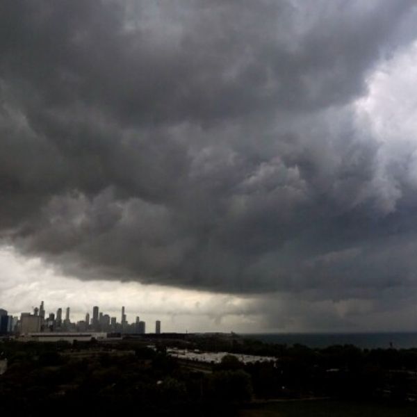
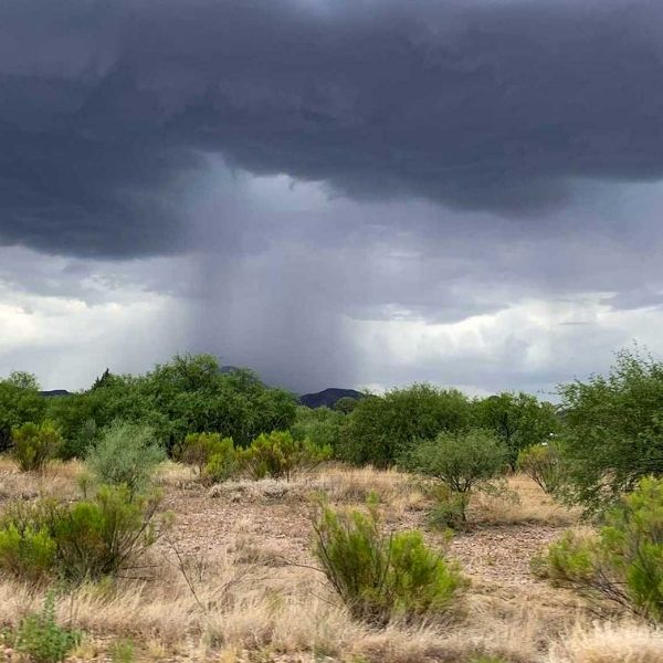
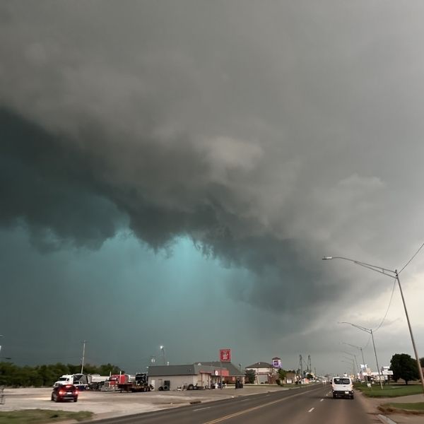
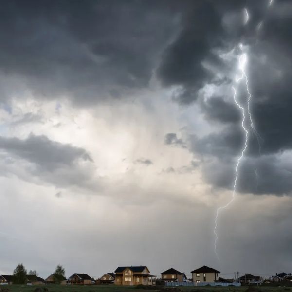
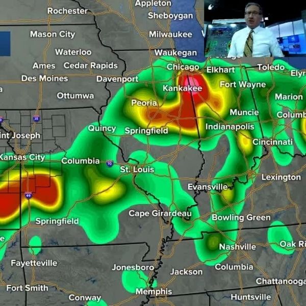
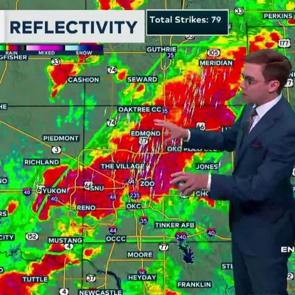
A powerful weather system is set to bring severe storms to a wide swath of the U.S. on Wednesday, with the greatest threats stretching from Chicago and Milwaukee to Denver and the eastern Rockies. The main concerns include damaging winds, hail, flash flooding, and even a few isolated tornadoes.
Areas at Risk:
The Storm Prediction Center (SPC) has placed much of Illinois, Wisconsin, and Colorado under a Level 2 out of 5 (Slight Risk) for severe weather. Key cities in the risk zone include:
-
Chicago, Milwaukee, Green Bay, Peoria, and Davenport in the east
-
Denver and Cheyenne in the west
Timing and Hazards:
Severe weather is expected to peak Wednesday afternoon and evening as daytime heating and instability intensify. Storms may bring:
-
Gusty winds (main threat)
-
Hail
-
Tornadoes (isolated)
-
Flash flooding from heavy downpours
Due to high dew points and moisture levels, storms could drop 1–2 inches of rain quickly, especially in already saturated areas like Chicago and Davenport, which recently experienced flash flood emergencies.
⚠️ Reminder: Just 6 inches of moving water can knock a person over, and a foot of water can sweep away a car.
Health and Air Quality Impact:
The storms will help clear out lingering wildfire smoke that’s led to poor air quality across the region. On Tuesday, Chicago issued an Air Pollution Action Day, with unhealthy ozone and particle levels affecting sensitive groups.
Children, seniors, and those with respiratory conditions are advised to limit outdoor activity until the front passes.
Looking Ahead:
Once the front moves through, expect cooler, cleaner air with highs in the:
-
70s on Friday
-
80s on Saturday
However, more wet weather is possible this weekend into next week, so residents should stay alert and monitor forecasts closely.
This article has been carefully fact-checked by our editorial team to ensure accuracy and eliminate any misleading information. We are committed to maintaining the highest standards of integrity in our content.


Leave a Reply