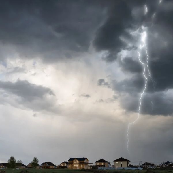
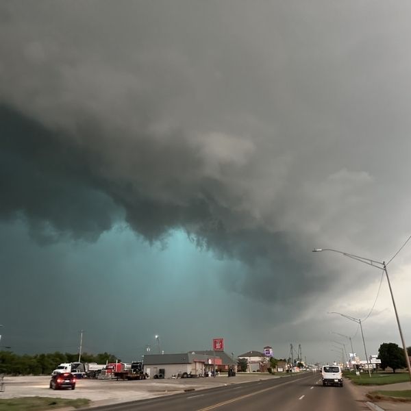
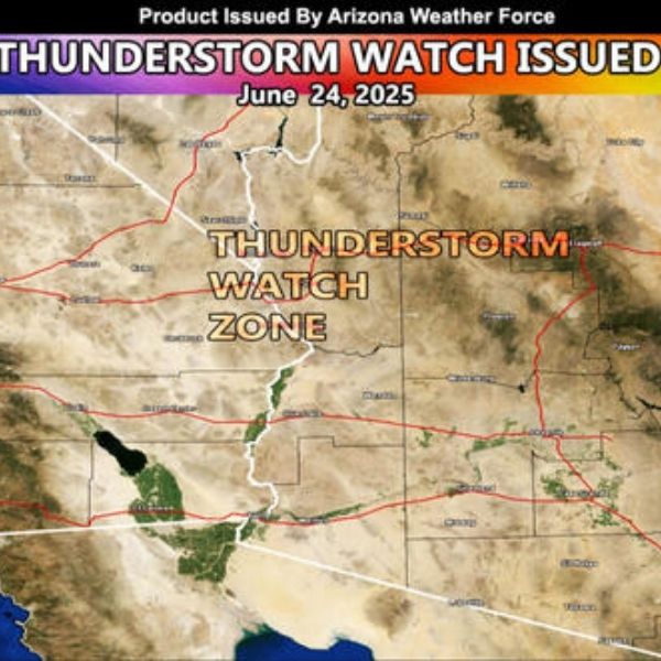
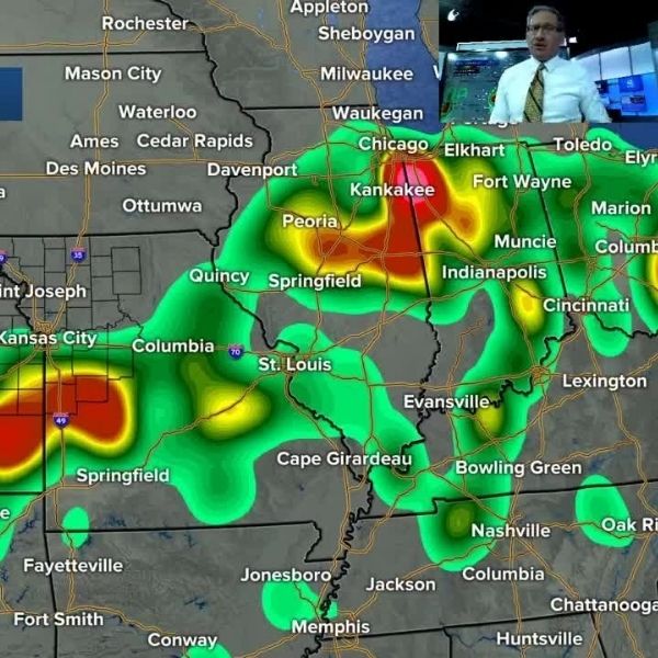
Three states—North Dakota, South Dakota, and Minnesota—are bracing for potentially severe weather on Monday, July 14, according to meteorologists at AccuWeather.com.
A pattern-changing cold front moving through the region will clash with hot, humid air to the south and east, setting the stage for powerful thunderstorms.
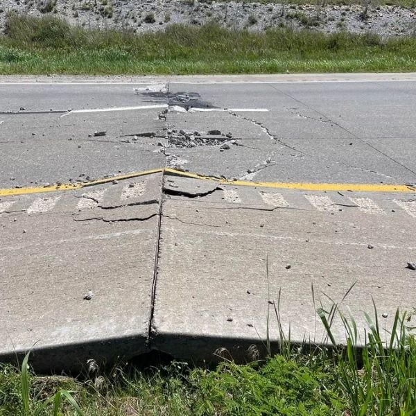
“The severe risk comes just days after storms rattled parts of the northern Plains with damaging wind gusts and hail,” said AccuWeather Senior Meteorologist Chad Merrill.
What to Expect
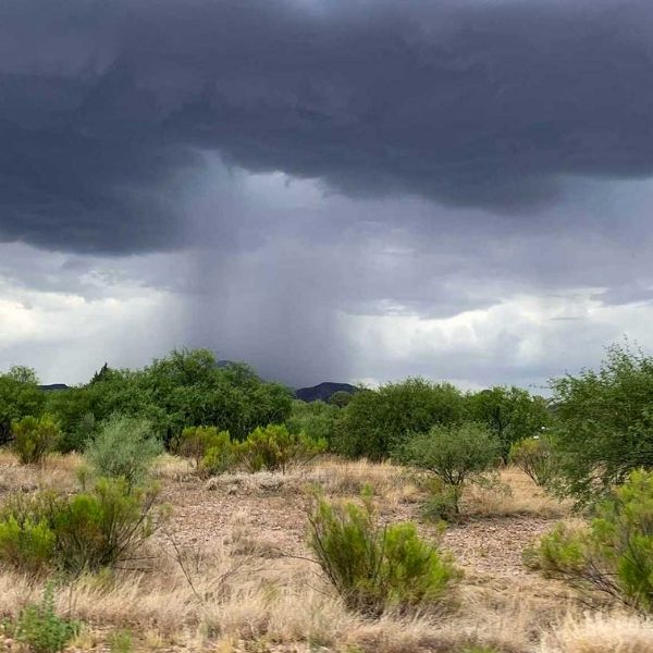
The threat zone stretches from eastern Wyoming to Minnesota, with a more concentrated area likely from North Dakota into far northern and eastern Minnesota.
Storms could bring:
-
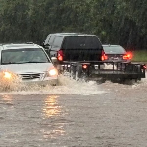
⚠️ Flash flooding
-
🌩️ Large hail
-
🌪️ Damaging winds
-
🌪️ Possible tornadoes
As the week progresses, the severe weather threat may expand to include Nebraska, Iowa, Colorado, Kansas, and Michigan’s Upper Peninsula.
NWS Safety Tips for Severe Storms
In the event of severe weather, the National Weather Service (NWS) urges you to remember three key steps:
✅ GET IN
If you’re outside, go indoors. If you’re indoors, move to the center of the building, away from windows and doors.
✅ GET DOWN
Head to a basement or lowest floor. Avoid upper levels and stay clear of glass.
✅ COVER UP
Protect yourself from flying debris—the top cause of injuries and deaths in storms. Use blankets, pillows, coats, helmets, or anything that can shield your head and body.
Stay weather-aware and follow local forecasts for real-time updates.
This article has been carefully fact-checked by our editorial team to ensure accuracy and eliminate any misleading information. We are committed to maintaining the highest standards of integrity in our content.


Leave a Reply