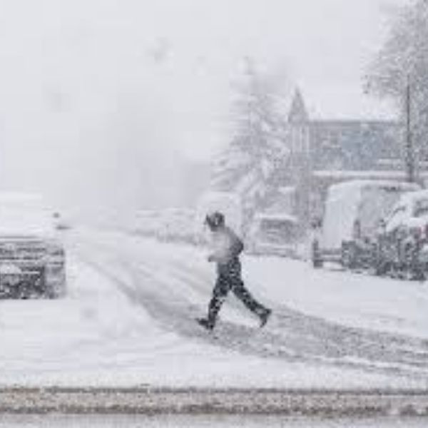
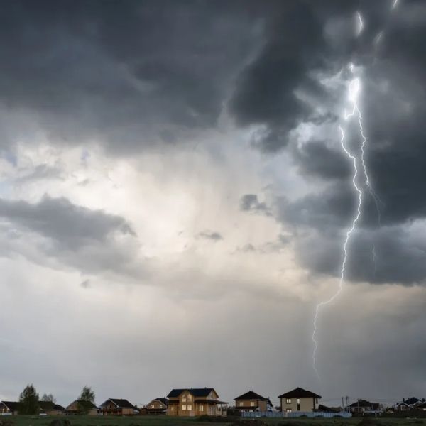
Colorado is bracing for another round of strong thunderstorms Saturday afternoon, continuing a stretch of active weather that’s already brought heavy rain, localized flooding, and frequent lightning across the state.
The day began with cool, damp conditions and lingering clouds, especially along the Front Range, following intense storms that soaked northeast Colorado Friday night.
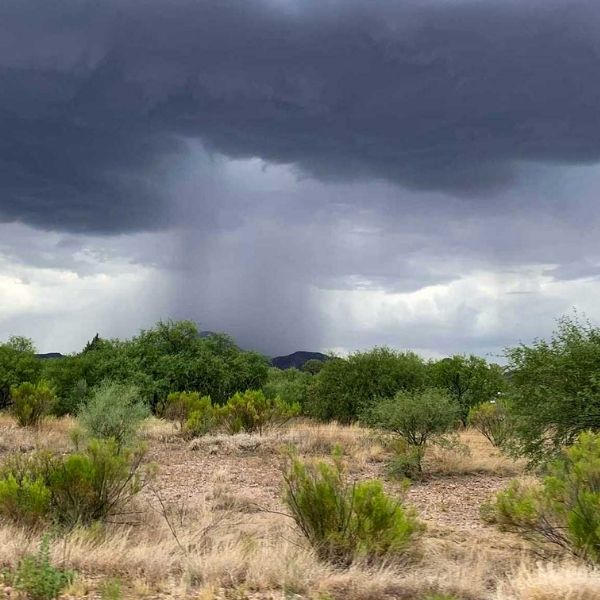
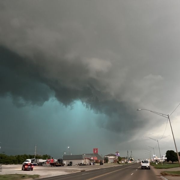
While a brief spell of drier air moves in during the morning, scattered afternoon thunderstorms are once again likely—especially south of I-70, where the atmosphere remains unstable. Although widespread severe weather isn’t expected, a few storms may turn strong, bringing heavy downpours, gusty winds, and hail.
Looking ahead, storm activity will taper slightly on Sunday and Monday, but daily afternoon showers—particularly in the mountains—remain in the forecast.
Meanwhile, temperatures are set to rise. After a cooler Saturday, metro Denver and the eastern plains are expected to return to the low to mid 90s starting Sunday, with the warm trend continuing into the start of the week.


Leave a Reply