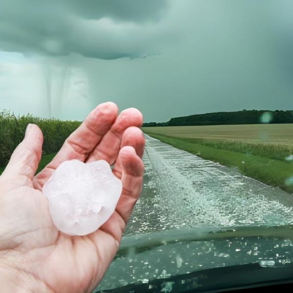
Missouri is now officially in the crosshairs for severe thunderstorms Friday, with strong winds, heavy rain, and large hail expected.
Forecasters and computer models are now aligned in predicting widespread storm activity across the entire state. According to the NOAA/NWS Storm Prediction Center, all of Missouri faces at least a marginal risk, with elevated concerns in the northern half.
Yesterday, early model data hinted at Friday’s storm threat, but meteorologists waited for more conclusive data before sounding the alarm. That data has now come in—and the alert is out.
Midwest Weather added to the forecast with graphics showing very high dew points across northeast Missouri on Friday. These sticky conditions could enhance the risk of heavy rainfall and hail, although the primary concern, as of now, is damaging winds.
One prediction remains unofficial but worth noting: expect another updated advisory before Friday, potentially raising the threat level. Whether it turns into a major storm event or a dose of much-needed rain, residents should stay alert.
Tips to Stay Safe:
-
Have multiple ways to receive alerts
-
Keep your devices charged
-
Be prepared to shelter if warnings are issued
Severe weather may be on the way—be weather aware and stay informed.
This article has been carefully fact-checked by our editorial team to ensure accuracy and eliminate any misleading information. We are committed to maintaining the highest standards of integrity in our content.


Leave a Reply