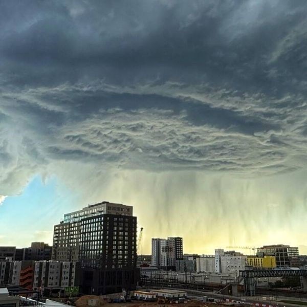
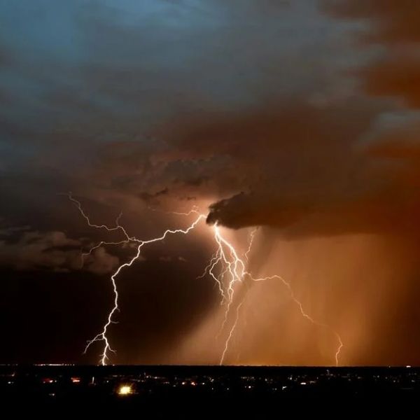
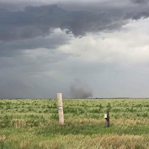
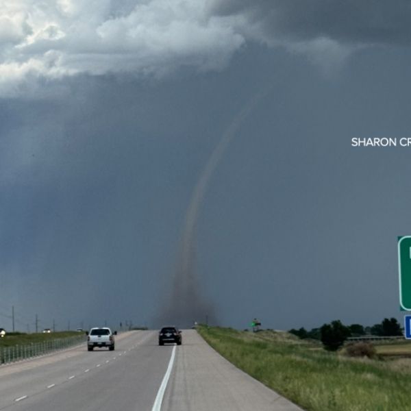
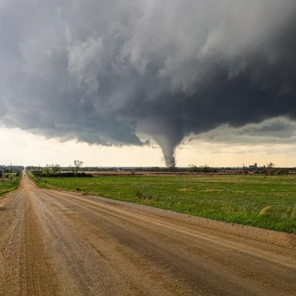
Over 2.4 million people in eastern Colorado, western Nebraska, southern Wyoming, and northwest Kansas are under threat from severe thunderstorms through 9 p.m. tonight. Cities including Denver, Fort Collins, Colorado Springs, Cheyenne, and Sidney are expected to face hail up to two inches in diameter, wind gusts near 75 mph, and frequent lightning.
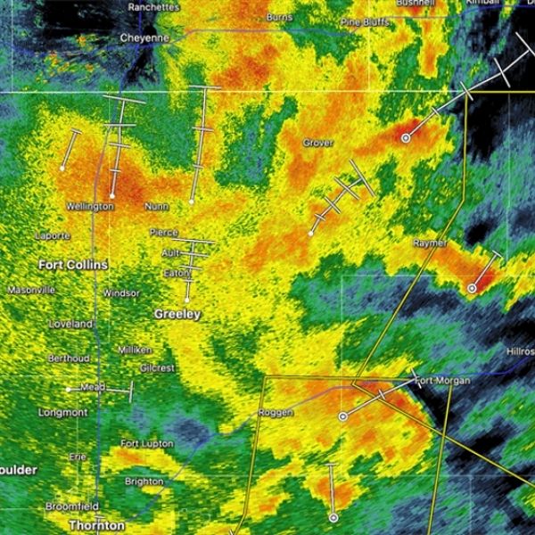
The National Weather Service Storm Prediction Center has issued Severe Thunderstorm Watch 492, covering much of the I-25 and I-76 corridors. Affected areas include Adams, Weld, El Paso, and Cheyenne counties, along with hundreds of schools, hospitals, and critical infrastructure.
Key concerns:
-
Flash flooding is likely along I-70, U.S. Highway 85, and rural roads northeast of Denver and north of Colorado Springs.
-
Power outages could occur from downed trees and power lines.
-
Travel is strongly discouraged during peak storm hours; residents are advised to stay indoors, charge phones, and prepare emergency kits.
Tonight’s outbreak is shaping up to be one of the most intense of the summer for the Front Range and High Plains, comparable to the severe storms of July 2021. Authorities urge everyone in the affected areas to stay alert and follow all weather advisories until the threat passes overnight.


Leave a Reply